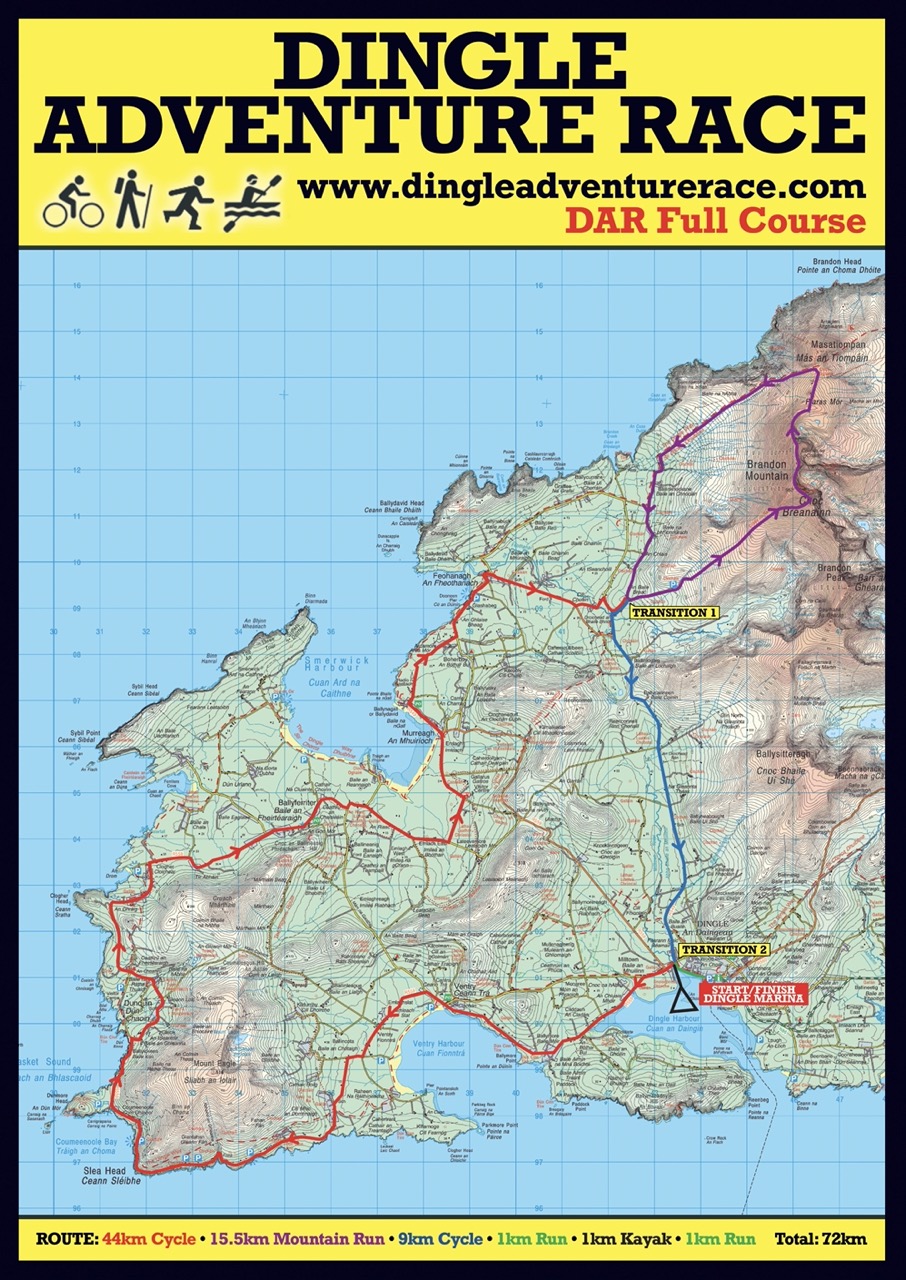
Dingle Adventure Race
FULL RACE
-
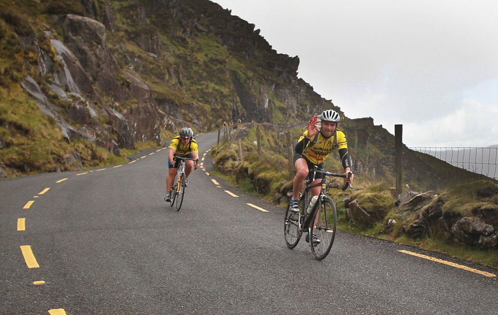
Cycle:44kmHeight Gain: 300m Height Loss: 260m
-
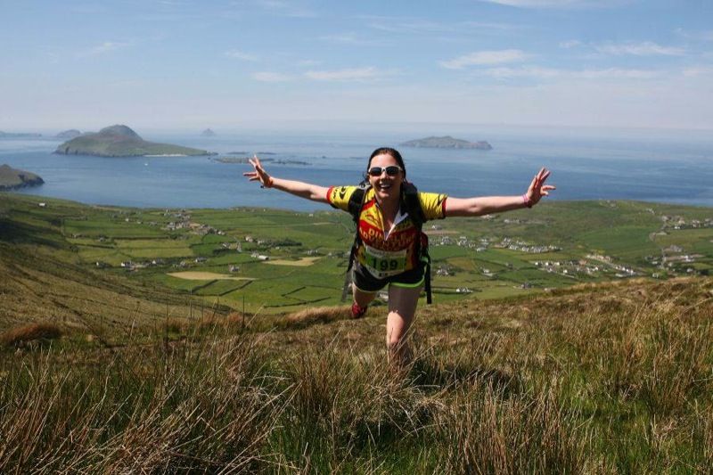
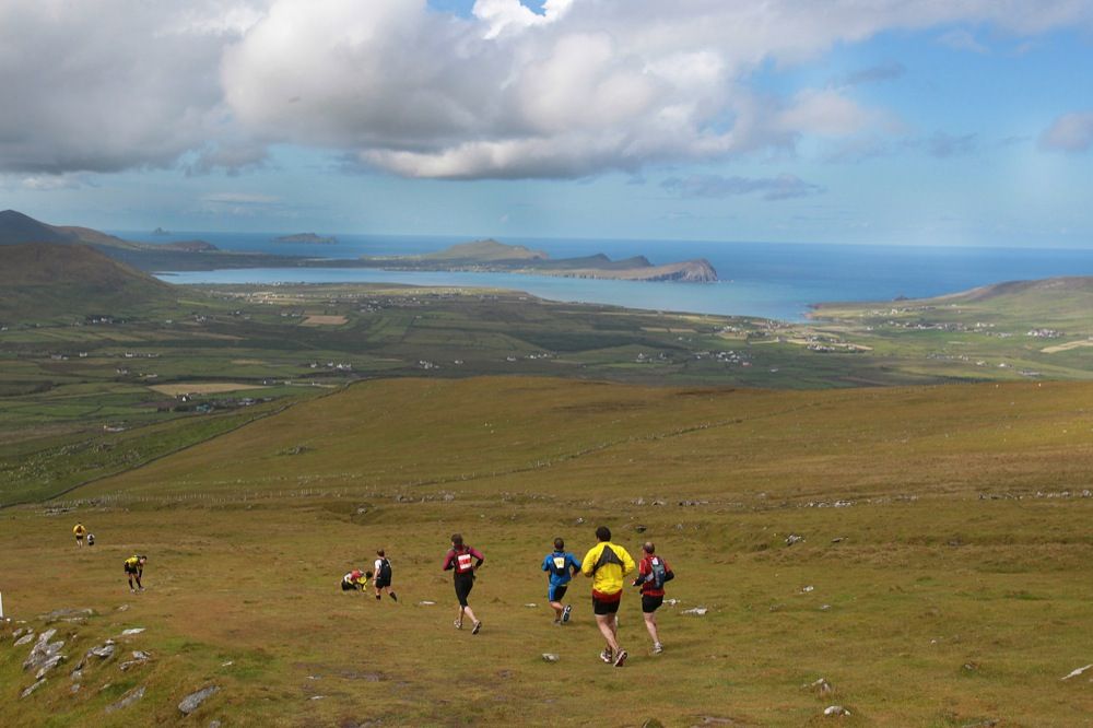
Run/Hike:15.5km
Height Gain: 950m Height Loss: 950m
-
Cycle:9 kmHeight Gain: 60m Height Loss: 100m
-
Run:1 km
Height Gain: 0m Height Loss: 0m
-
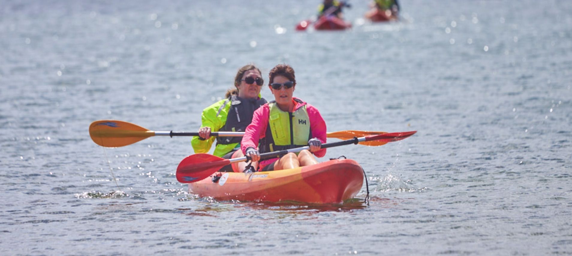
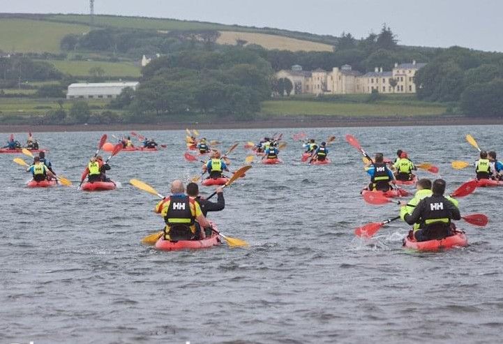
Kayak:1 kmHeight Gain: 0m Height Loss: 0m
-
Run:1.5 km
Height Gain: 0m Height Loss: 0m
Total: 72 km
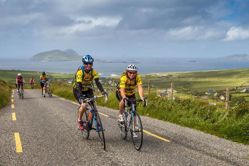
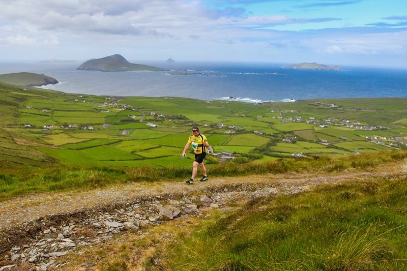
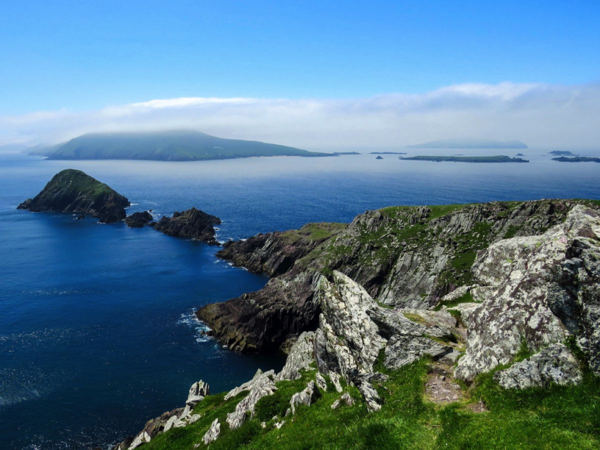
The 45 mile/ 72km course will take you to some of the best gems on the Dingle peninsula, Co. Kerry, Ireland. Biking around Slea head, following in the footsteps of St Brandon climbing Ireland's second highest Mountain range Mt Brandon and kayaking in Dingle Harbour.